Why this home stands out
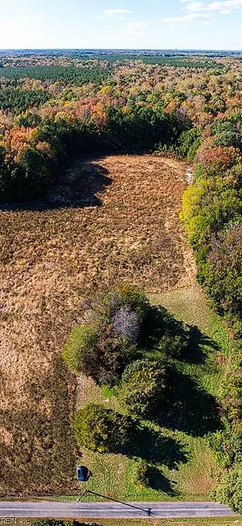
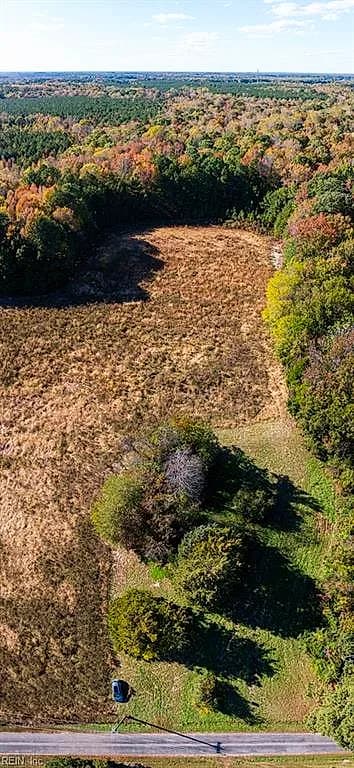
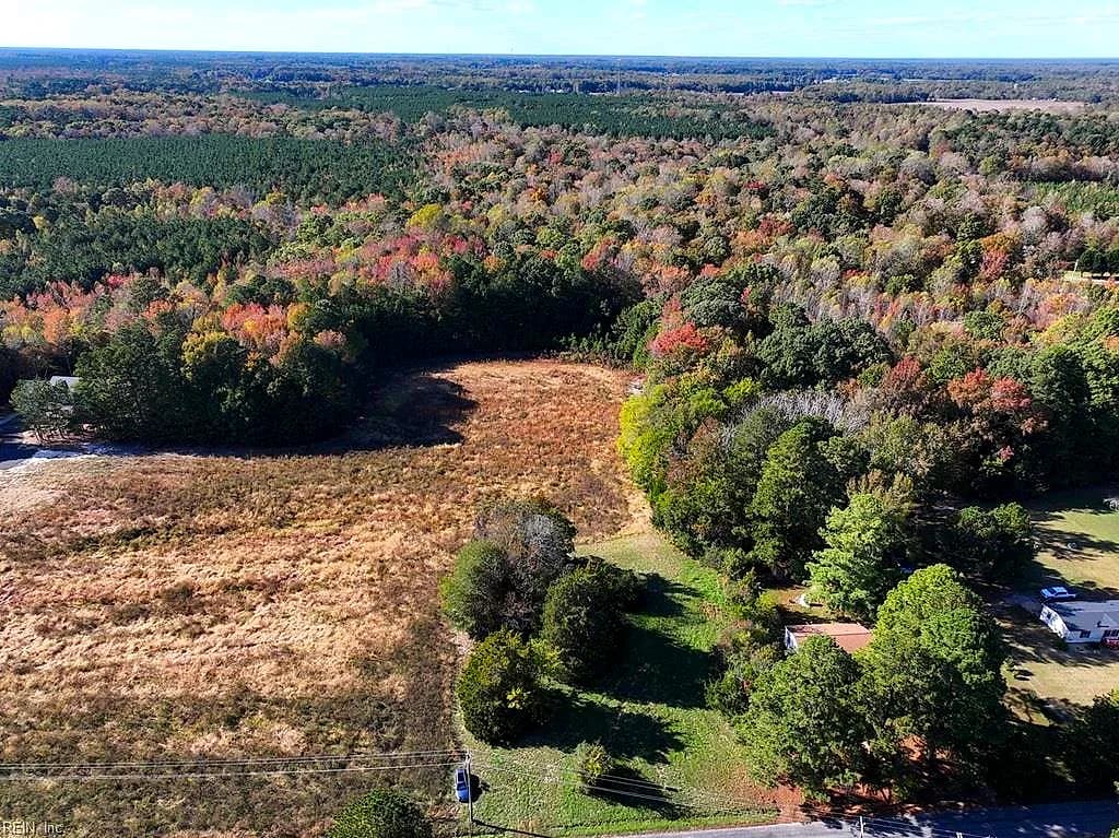
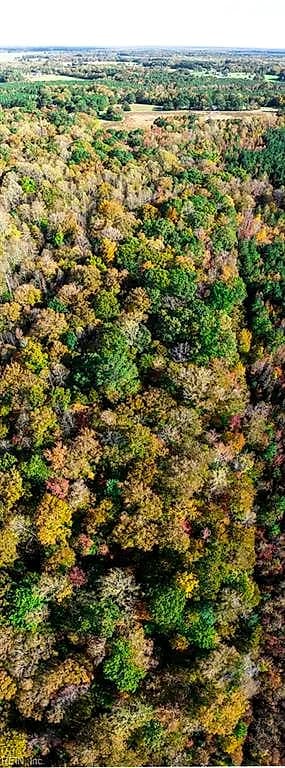
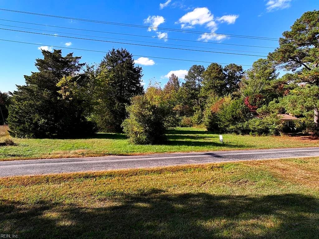
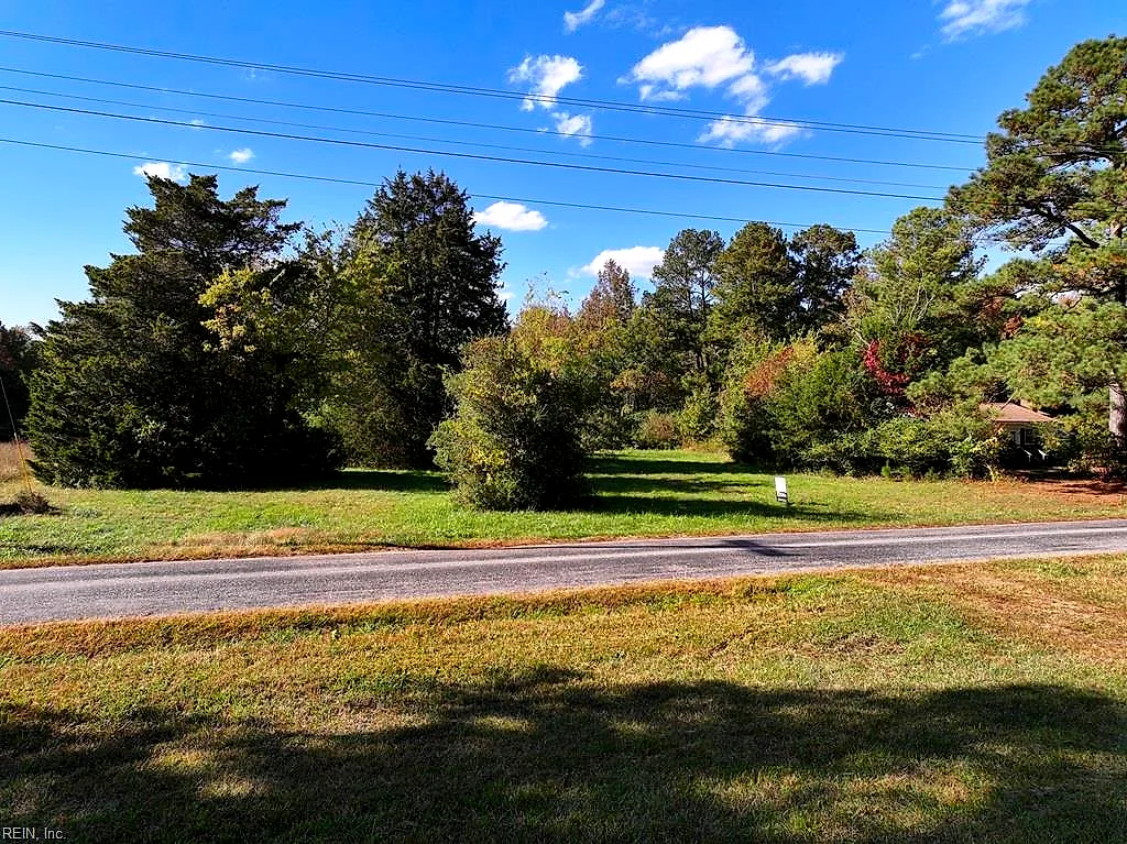
Raw acreage this size is increasingly rare within a half-hour of two major military installations. At 28.2 acres, 42-14 Chippokes Farm Road offers the kind of elbow room that lets you dictate the terms — whether that means agricultural use, a custom-built primary residence set far back from the road, outbuildings, horses, or simply land held for the long haul. No structure constrains your vision here.
About the Surry real estate market
Surry, Virginia sits on the south bank of the James River, directly across the water from historic Williamsburg and Colonial Heights. Surry County is one of the quieter corners of Hampton Roads — low-density, largely agricultural, and defined by wide-open landscapes that have changed little over generations. The Chippokes Farm Road corridor sits within that rural fabric, surrounded by working farmland and mature tree lines that give the area its unhurried, deeply Virginian character. The county seat of Surry is just a short drive away for basics, while the Jamestown-Scotland Ferry provides a scenic, no-cost crossing to Williamsburg and the broader Historic Triangle. For residents who want genuine separation from suburban density while staying connected to the region's employment centers and military installations, Surry County land along this stretch is a compelling answer. The primary keyword for this property — Surry Virginia land for sale — reflects exactly what this parcel represents: a rare opportunity to own a meaningful piece of rural Virginia.
What's nearby
Day-to-day errands are straightforward from this address. The town of Surry is within a few miles for fuel, a local diner, and county services. The free Jamestown-Scotland Ferry, one of Virginia's most practical and scenic shortcuts, puts you across the James River and into the Williamsburg area in about 15 minutes on the water. From there, Colonial Williamsburg, Busch Gardens, grocery anchors, and a full range of dining and retail are all accessible. Smithfield — known for its historic downtown and food scene — is also reachable within roughly 30 minutes heading southeast.
For different buyers
For military families relocating
If you're stationed at Joint Base Langley-Eustis or Naval Weapons Station Yorktown, a VA loan can be a powerful tool for financing raw land purchases under the right conditions — worth exploring with a lender who knows the program well. The 21-minute drive to Fort Eustis and 28-minute run to Yorktown make this parcel a realistic option for service members who want space, privacy, and the ability to build on their own timeline without sacrificing commute viability.
For buyers drawn to character
Some buyers aren't looking for a house — they're looking for a place to build something from scratch, on their own terms. Twenty-eight acres in Surry County is a canvas: bring a custom home plan, a barn design, a garden layout, or an equestrian vision. The land doesn't care what you had in mind before; it simply offers the space to make it real. If you've been waiting for acreage with genuine character and regional roots, Chippokes Farm Road is worth a long look.
More buyer questions
How far is 42-14 Chippokes Farm Road from Joint Base Langley-Eustis?
The drive from this address to Joint Base Langley-Eustis (Fort Eustis) is approximately 21 minutes under normal conditions. The route typically runs north through Surry County and across the James River via the Jamestown-Scotland Ferry or the Route 17 bridge corridor.
How far is this property from Naval Weapons Station Yorktown?
Naval Weapons Station Yorktown is roughly 28 minutes from 42-14 Chippokes Farm Road, making it a workable commute for personnel stationed there who want to live in a rural, low-density setting.
What can you build on 28.2 acres in Surry County, Virginia?
Surry County's rural zoning generally accommodates single-family residential construction, agricultural uses, outbuildings, and equestrian facilities, though specific setbacks, well and septic requirements, and permitted uses should be confirmed directly with Surry County Planning and Zoning before purchase.
Is 42-14 Chippokes Farm Road in a flood zone?
Flood zone status for this parcel should be verified through FEMA's official flood map service or a licensed surveyor, as flood designations can vary across large acreage parcels depending on topography and proximity to waterways.
Does this property have road frontage and access?
The address is located on Chippokes Farm Road, which provides direct road frontage; however, buyers should confirm access details, easements, and any recorded restrictions through a title search and survey prior to closing.
Ready to walk the land at 42-14 Chippokes Farm Road? Tom and Dariya Milan know Surry County and can help you think through what's possible here — reach out to schedule a site visit.