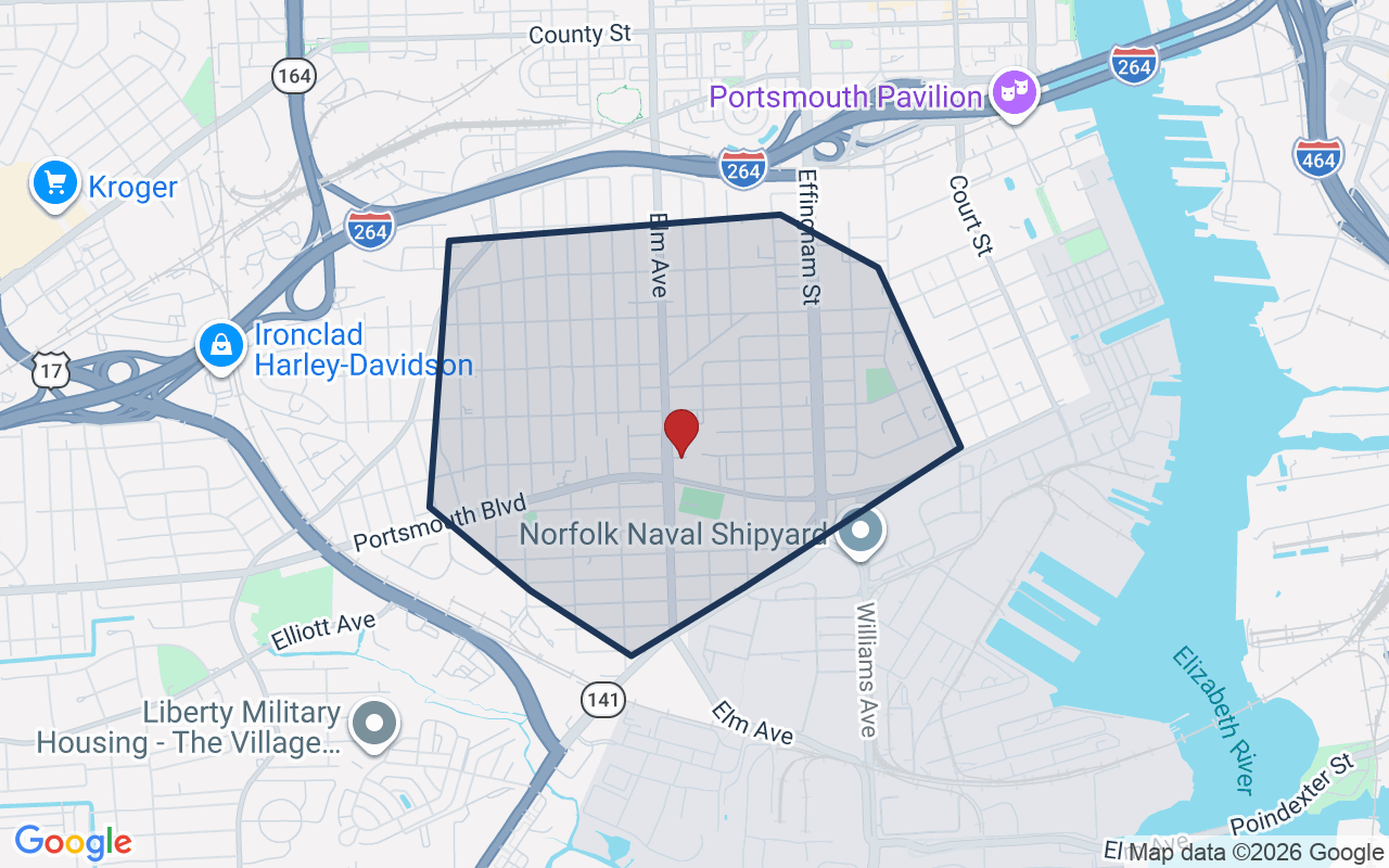
4005 Dartmouth St was listed for sale on Jul 24, 2026. The last list price was $365,000. It came off the market on Nov 1, 2026. It is not listed for sale in the REIN MLS.
***Owner Agent****Welcome home to this beautifully renovated, move-in-ready residence! Every detail has been thoughtfully updated, featuring a stunning newer modern cabinetry, countertops, and fixtures, beautifully renovated bathrooms, original hardwood flooring, fresh interior paint, updated lighting, and a new HVAC system for year-round comfort. The spacious layout offers plenty of room to relax and entertain. Conveniently located near shopping, dining, schools, military installations, and major interstates, this home combines style, comfort, and convenience. Schedule your private tour today!
Listing courtesy of Miesha Moore · CENTURY 21 Nachman Realty · REIN MLS #10645940
VaHome School Score — calculated by VaHome.com from Virginia Department of Education assessment, progress, and attendance data. Attendance zones come from the MLS listing record; confirm the current zone with the school division before making an offer.
How Far Is?
Driving distance by road and typical drive time via Google Maps, to the nearest location of each.
Also nearby
Distances are straight-line (as the crow flies) from this property, not driving miles. Places within ~1 mile, nearest first. Powered by Google Places.
Get new Portsmouth listings like this one by email
Portsmouth$310K – $420K4+ beds
By subscribing you agree to receive listing emails from Tom & Dariya Milan, Realtors, at most one a day. Unsubscribe anytime · Privacy PolicyBrokered by LPT Realty
Military Commute
Drive times to nearest bases
⚓
NMCP
Navy
11min·3.4mi
⚓
NNSY
Navy
10min·4.1mi
🚢
USCG Portsmouth
Coast Guard
12min·5.3mi
⚓
NSA HR
Navy
28min·11.4mi
🪖
MARFORCOM
Marines
41min·14.9mi
Typical drive times from Google Maps, without live traffic. Rush hour and tunnel backups can add time.
Flood & environmentFlood risk (FEMA)
FEMA flood zone X · outside the high-risk area · FIRM 515529
🌊 Flood Risk (FEMA)
Source: FEMA National Flood Hazard Layer · FIRM 515529
Low / Moderate Risk
FEMA flood zone
X (low to moderate risk)
Base flood elevation
Not applicable in low-risk zones
Zone X is outside the Special Flood Hazard Area; FEMA doesn’t define a BFE here.
Property elevation
11.7 ft above sea level
USGS 3DEP digital elevation model
Outside the high-risk Special Flood Hazard Area. Federal flood insurance is NOT required, though optional preferred-rate NFIP coverage is still worth considering in coastal Hampton Roads.
Data sources: Flood zone and base flood elevation come from FEMA’s National Flood Hazard Layer. Property elevation is sampled from a single point on the parcel using the USGS National Map elevation service — actual elevations across a single property can vary by several feet higher or lower than the figure shown. Use these numbers as a starting reference and do your own due diligence (a professional survey or elevation certificate) before relying on them for any financial, insurance, or construction decision.
Last list price vs. assessment151% of $241,030City assessment record · taxes $2,988/yr
Land share of assessed value31% · $75,000Improvements $166,030 · assessor record ✓
Price context: similar nearby homes$266,500 – $330,000The 6 most similar homes nearby (same city, within ~20% of this size, ~2.5 mi; 6 sold). Context for the last list price, not an appraisal or an estimate of this home's value.
Source: City Assessor via Hampton Roads Regional Parcels.
51% above assessment
Total Assessed
$241,030
Land
$75,000
Improvement
$166,030
Looking for multi-year tax assessments or prior sales? REIN MLS only ships data for the current listing. For full property history, check the city assessor record:
Tax data above from REIN public-records sync. Sale timeline tracked from this listing's first appearance in our feed forward; prior owner sales are not included.
Comparable Properties
Comps are selected by city, bed count, square footage and price proximity. Composite similarity score weights bed match, sqft variance, price variance, and straight-line distance.
CompareThis home next to what else is for sale nearby
Home
Price
Beds
Baths
Sqft
$ / sqft
4005 Dartmouth Stthis home, last list price
$365,000
4
2
1,924
$190
Loading nearby homes for sale…
Active comparables from the REIN MLS, the same homes shown under Comparable Properties. Context for judging the asking price, not an appraisal.
Questions about this home
Is 4005 Dartmouth St in a good school zone?
The assigned zones on the listing record are Westhaven Elementary (VaHome School Score 2.2/10), William E. Waters Middle, Manor High (VaHome School Score 3.2/10). School attendance zones can change — always confirm enrollment with the local school division.
Is 4005 Dartmouth St in a flood zone?
FEMA maps this parcel in Zone X, outside the high-risk Special Flood Hazard Area. See the flood section on this page for details and sources.
Does 4005 Dartmouth St have an HOA?
No — there are no HOA, condo, or association dues on the listing record for this property.
When was 4005 Dartmouth St built?
It was built in 1950, per the listing record.
Answers generated from the listing record, verified school zones, FEMA data, and cached nearby-places data. Never invented.
Off the marketSee what this home is worth now
This home is not listed for sale in the REIN MLS. The home value tool estimates a current value from recent nearby sales.
Listing courtesy of Miesha Moore · CENTURY 21 Nachman Realty · REIN MLS #10645940
4005 Dartmouth St, Portsmouth, Virginia 23707 · MLS #10645940 · Source: REIN MLS + public record. Information deemed reliable but not guaranteed; verify independently. School zones subject to change; confirm with the local school division. All locations are described by neutral geographic fact. Equal Housing Opportunity.